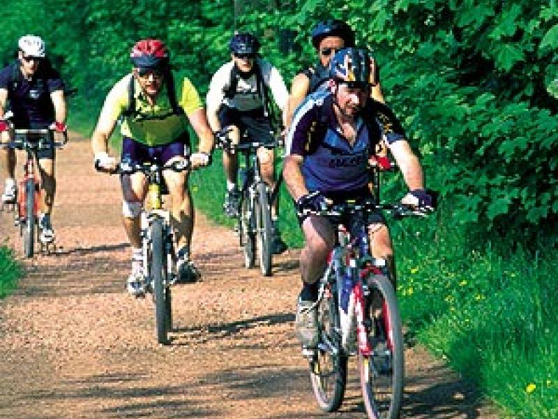
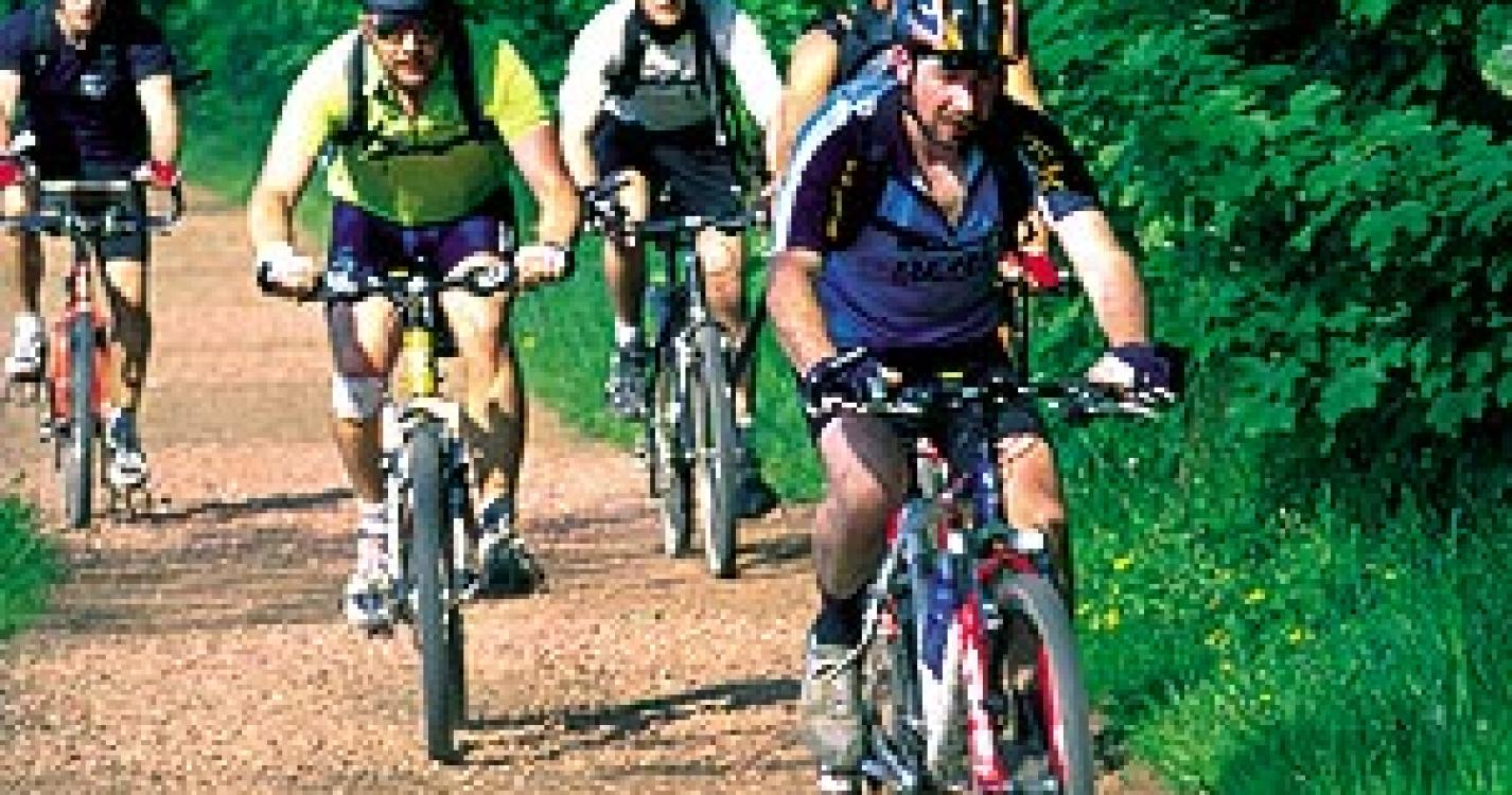
Distance :
28.48km
Loop :
Yes
Difficulty :
Difficult
Duration :
2h 26
Elevation gain :
499m
Elevation loss :
497m
Starting point :
50.66724,3.6176299999999997
Description
Trail created by Wallonie Picarde (Antenne Tournai) .
This circuit is only available in French and in Dutch. Please feel free to download the FR map card.
Ardennes-étape Privilege
Loading...
With your reservation, you automatically receive one month of Premium access to SityTrail, a GPS app that allows you to discover lots of great trails near your holiday home!
How do you activate your free access to SityTrail?
- Go to your customer account, Benefits section
- Click the link to create your account on the SityTrail website
- Download the app
- Explore the Ardennes!
Altimetric profile
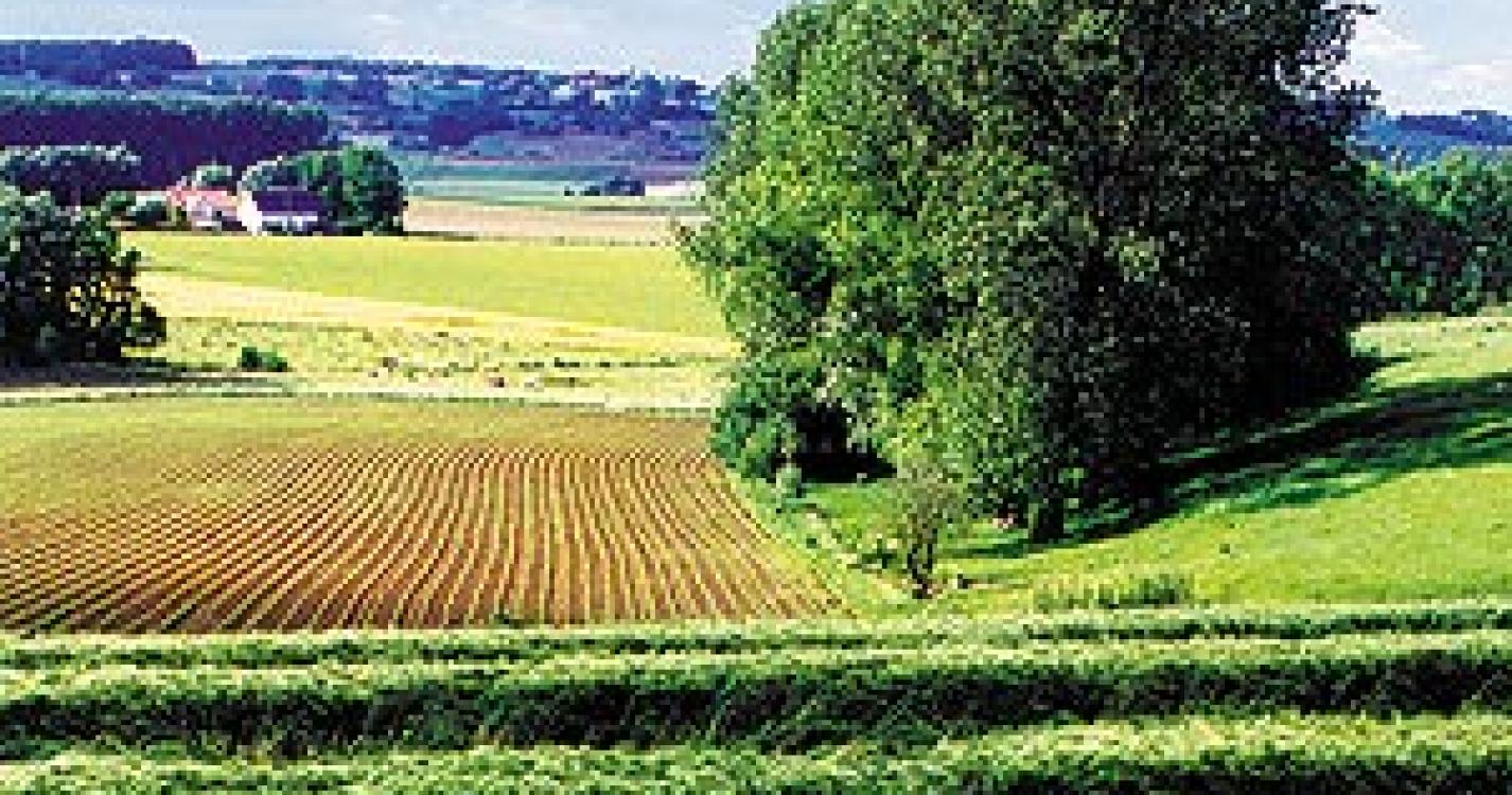
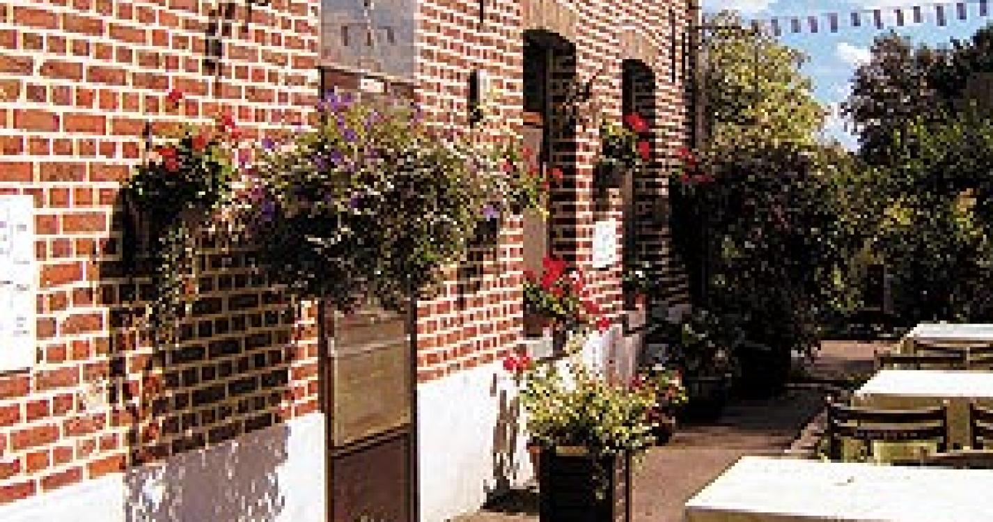
Explore the surroundings
9.2
Reviews
à.p.d
479.00€
Sivry-Rance
-
69km away
9.8
Reviews
à.p.d
1,855.00€
Ittre
-
43km away
9.3
Reviews
à.p.d
780.00€
Sivry
-
70km away
9
Reviews
à.p.d
560.50€
Frasnes-lez-Anvaing
-
4km away
9.6
Reviews
à.p.d
587.00€
Sars-la-Bruyère
-
37km away
10
Reviews
à.p.d
1,469.00€
Frasnes-lez-Anvaing
-
4km away