Distance :
3.02km
Loop :
Yes
Difficulty :
Intermediate
Duration :
0h 49
Elevation gain :
71m
Elevation loss :
69m
Starting point :
50.001689,4.460281
Description
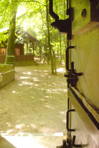
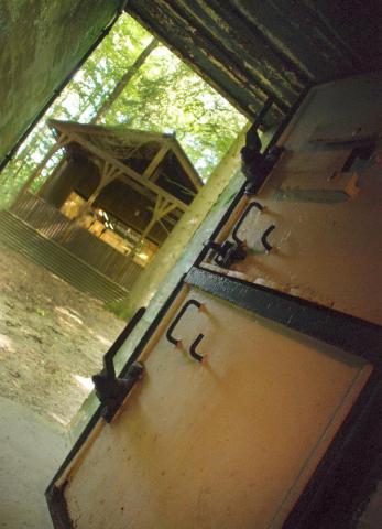
The starting point of the walk is a few metres from the site of Hitler's Bunker.
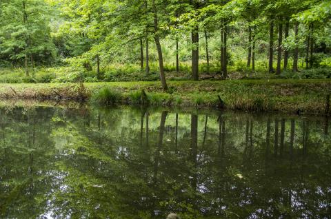
This itinerary will take you through woods and fields.
Trees and flora: many remarkable trees (beech, chestnut, large-leaved lime). Place Saint-Méen and Hitler's Bunker
Fauna: colony of jackdaws on the towers of Brûly-de-Pesche church + screech owl in the bell towers
Ardennes-étape Privilege
Loading...
With your reservation, you automatically receive one month of Premium access to SityTrail, a GPS app that allows you to discover lots of great trails near your holiday home!
How do you activate your free access to SityTrail?
- Go to your customer account, Benefits section
- Click the link to create your account on the SityTrail website
- Download the app
- Explore the Ardennes!
Altimetric profile
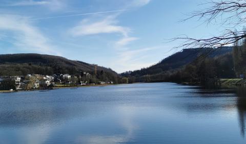
Explore the surroundings
8.5
Reviews
à.p.d
682.00€
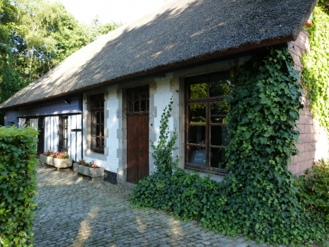
Viroinval
-
14km away
9
Reviews
à.p.d
271.00€
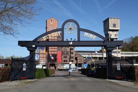
Froidchapelle
-
19km away
9.7
Reviews
à.p.d
2,444.50€
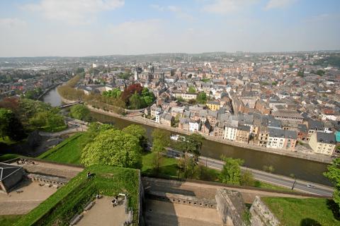
Froidchapelle
-
24km away

9.7
Reviews
à.p.d
3,575.00€
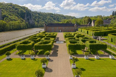
Doische
-
27km away
9.4
Reviews
à.p.d
448.00€
Villers-en-Fagne
-
17km away
9.3
Reviews
à.p.d
716.00€
Villers-en-Fagne
-
17km away