Distance :
9.83km
Signpost
Loop :
Yes
Duration :
2h 43
Elevation gain :
172m
Elevation loss :
172m
Starting point :
50.021123,5.118919
Description
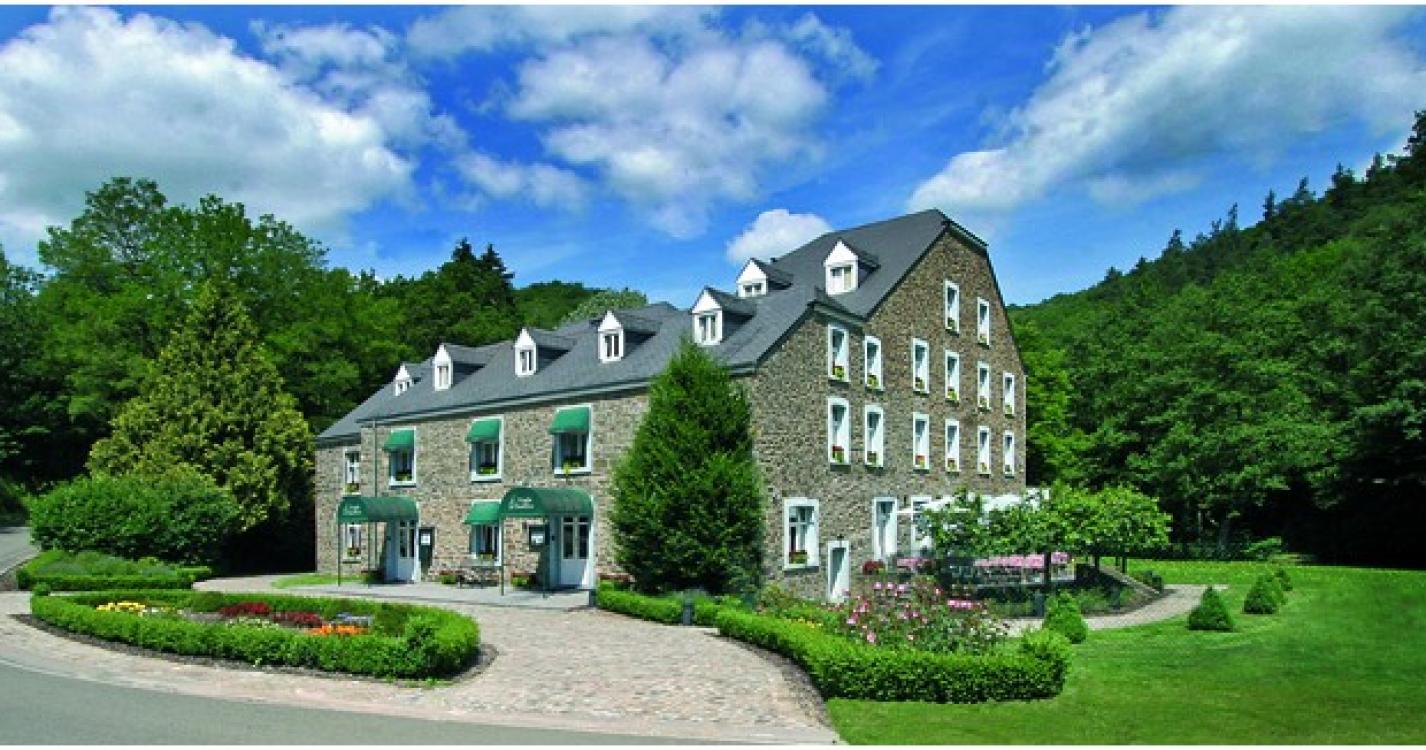
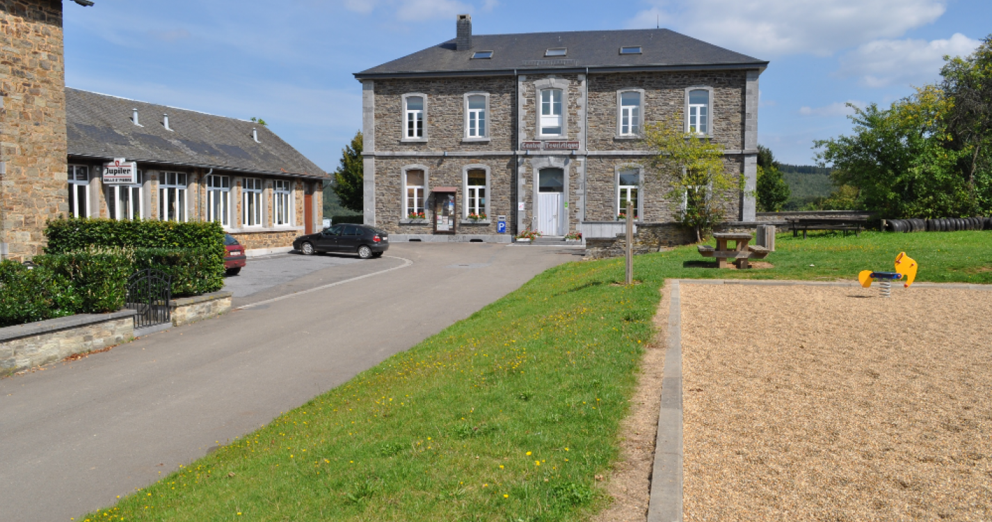
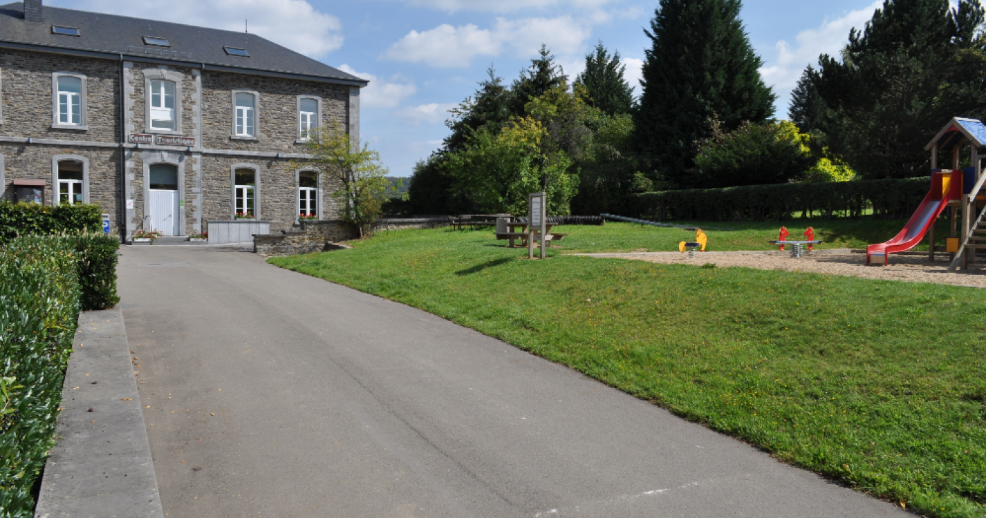
R.Bezoekerscentrum en toeristische dienst (VOIR D3)
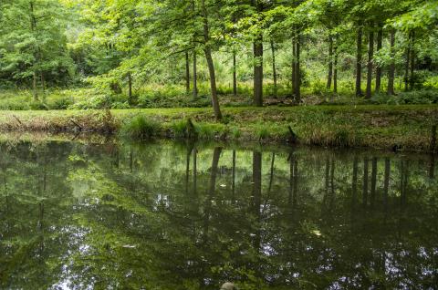
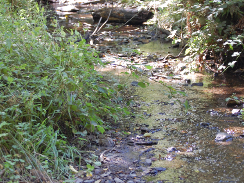
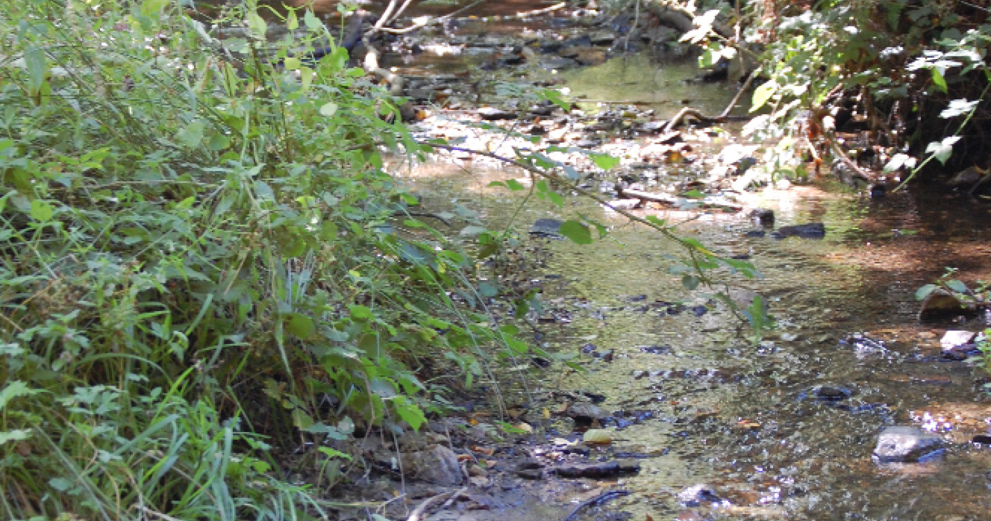
S.De Chicheron
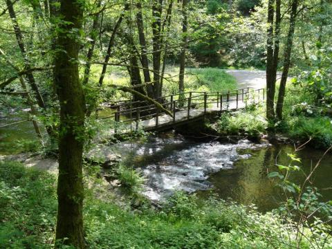
Deze prachtige kleine beek stroomt op een lager niveau dan dit gedeelte van het voetpad. Hij mondt uit in de Lesse. Het is een paaigebied, een kleine waterweg waar de forellen van de Lesse tegen de stroom in zwemmen om eieren te leggen.
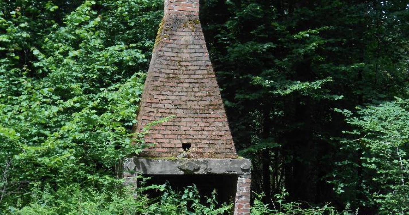
T.Oude jagershut
Opstelling van een oude rustplek voor jagers. Vandaag op de schoorsteen na volledig verwoest
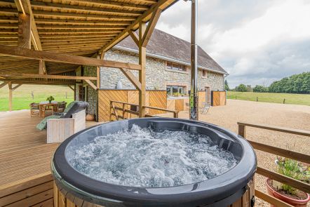
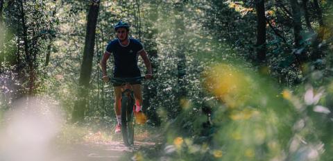
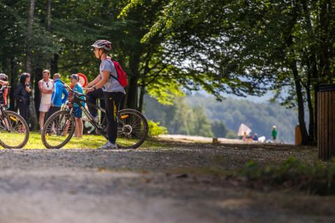
Ardennes-étape Privilege
Loading...
With your reservation, you automatically receive one month of Premium access to SityTrail, a GPS app that allows you to discover lots of great trails near your holiday home!
How do you activate your free access to SityTrail?
- Go to your customer account, Benefits section
- Click the link to create your account on the SityTrail website
- Download the app
- Explore the Ardennes!
Altimetric profile
Explore the surroundings