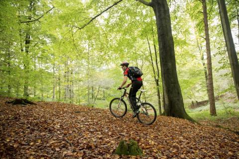
Distance :
8.84km
Loop :
Yes
Difficulty :
Easy
Duration :
2h 19
Elevation gain :
106m
Elevation loss :
106m
Starting point :
50.61114,3.95008
Description
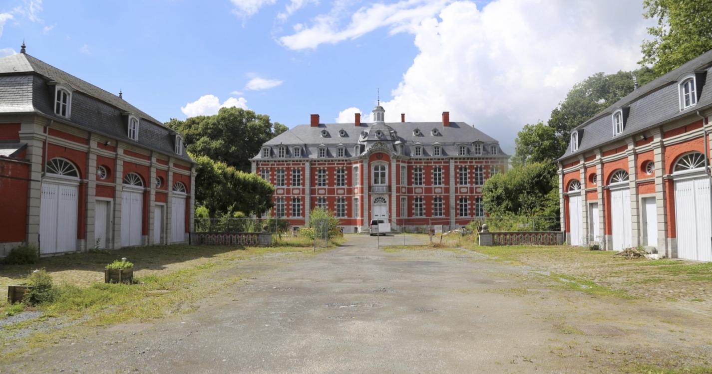
Trail created by Wallonie Picarde (Antenne Tournai) .
This circuit is only available in French and in Dutch. Please feel free to download the FR map card.
Ardennes-étape Privilege
Loading...
With your reservation, you automatically receive one month of Premium access to SityTrail, a GPS app that allows you to discover lots of great trails near your holiday home!
How do you activate your free access to SityTrail?
- Go to your customer account, Benefits section
- Click the link to create your account on the SityTrail website
- Download the app
- Explore the Ardennes!
Altimetric profile
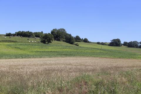
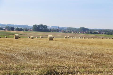
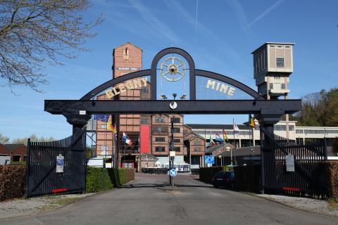
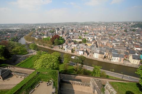
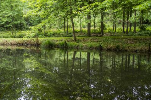
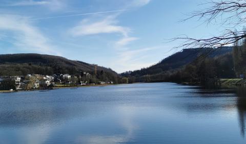
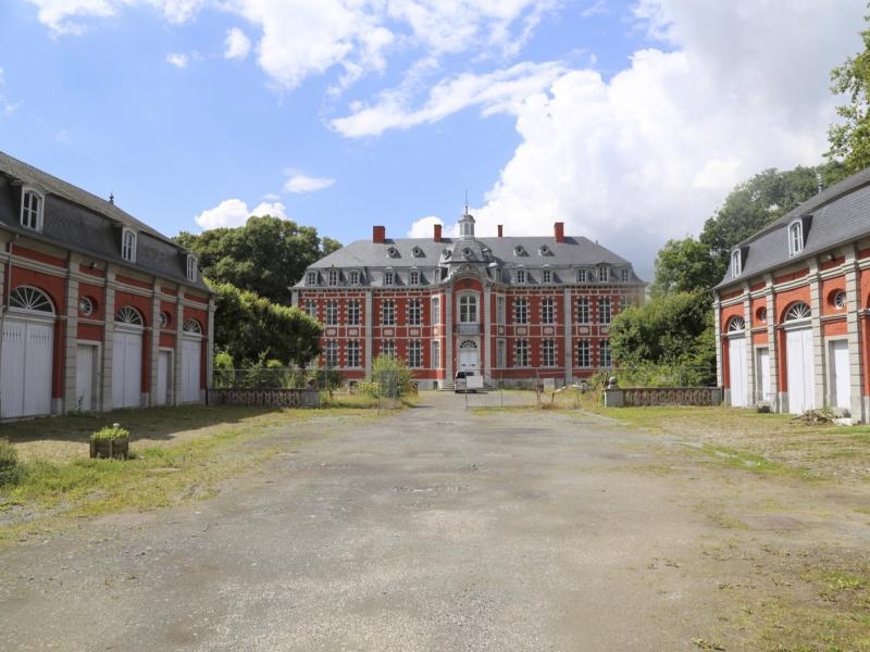
Explore the surroundings